
Slot Canyons
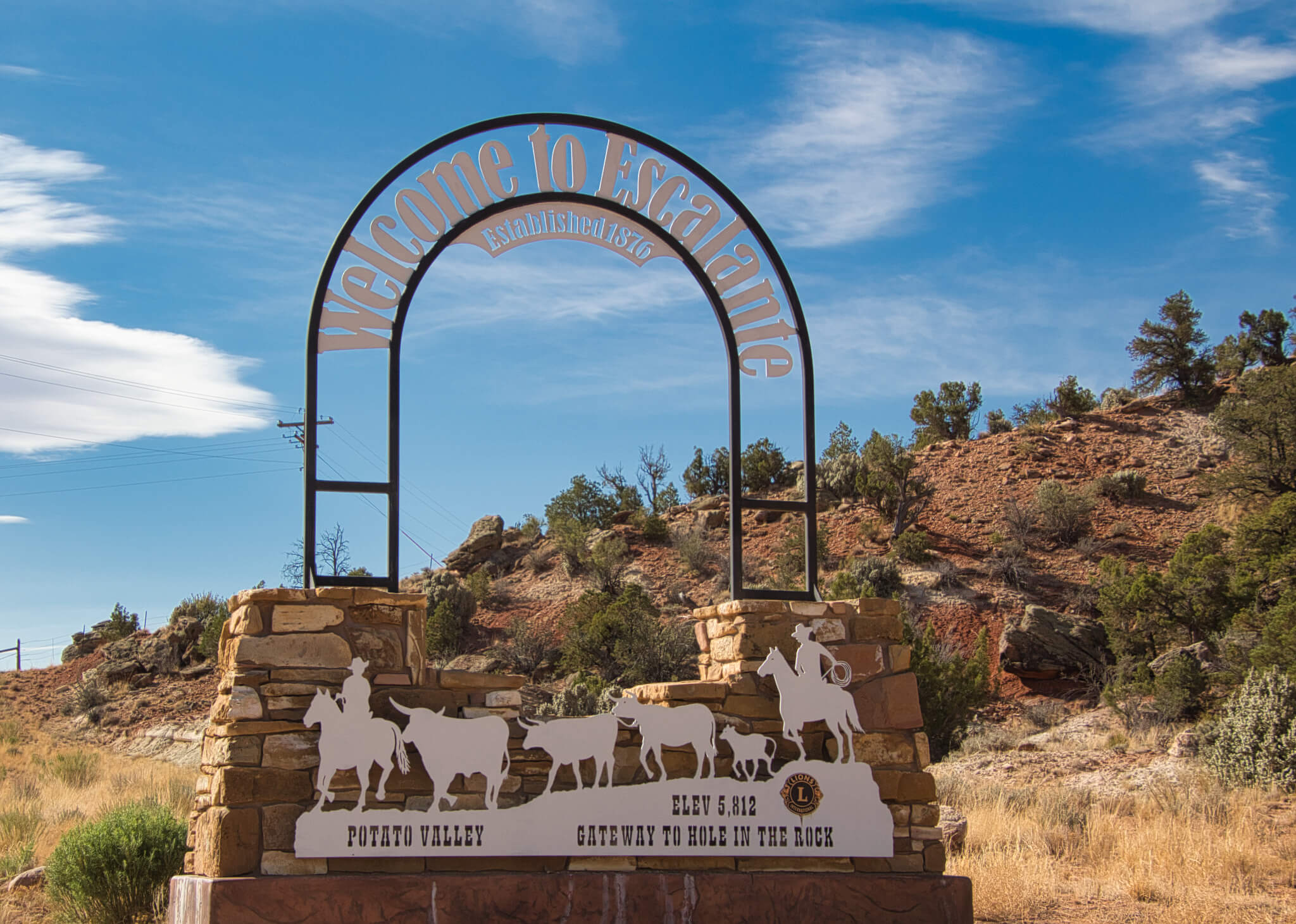
Grand Staircase Escalante Monument is a United States national monument that designates 1,880,461 acres (the size of Delaware). The land is among the most remote in the country being the last to be mapped in the contiguous United States. The area consists of 3 distinct areas: The Grand Staircase, Kaiparowits Plateau, Escalante Canyons.
I’m on the west side of the monument so spend most of my time exploring the Grand Staircase. There are hundreds of miles of dusty gravel roads, hiking, and ATV trails. With only 2 weeks here I’ll barely scratch the surface. I’ll hike over 50 miles and drive hundreds through the monument while I’m here.
Instead of a boring play by play of daily hiking logs, I’ll summarize each area with descriptions and some of the interesting sights along the way. The pictures can speak to the beauty of the area better than I can ever describe anyway.
GRAND STAIRCASE
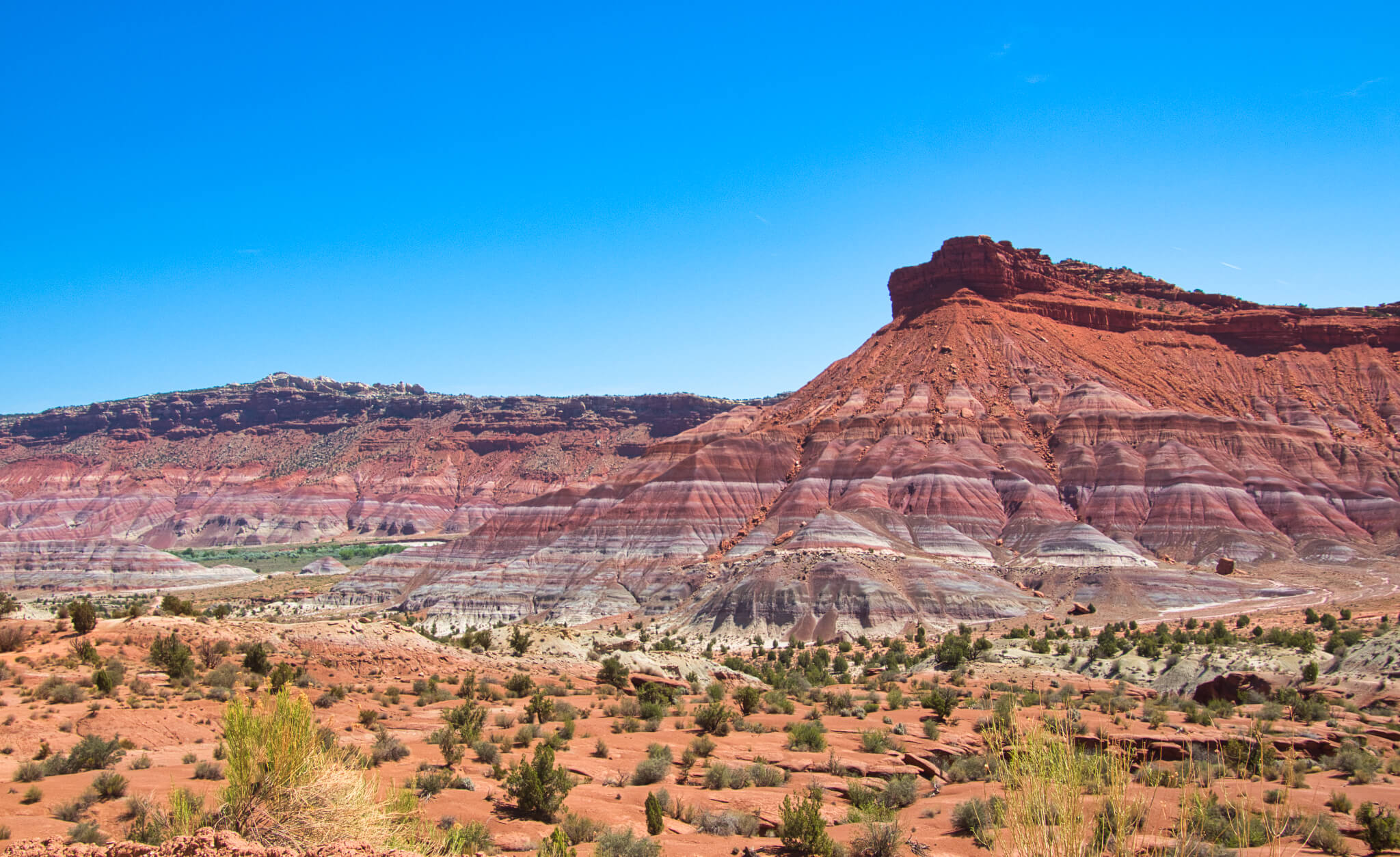
So-called for the series of plateaus that descend from Bryce Canyon south toward the Grand Canyon, marked by vertical drops at the Pink Cliffs, Grey Cliffs, White Cliffs, Vermillion Cliffs, and Chocolate Cliffs. Lots of colorful scenery herein.
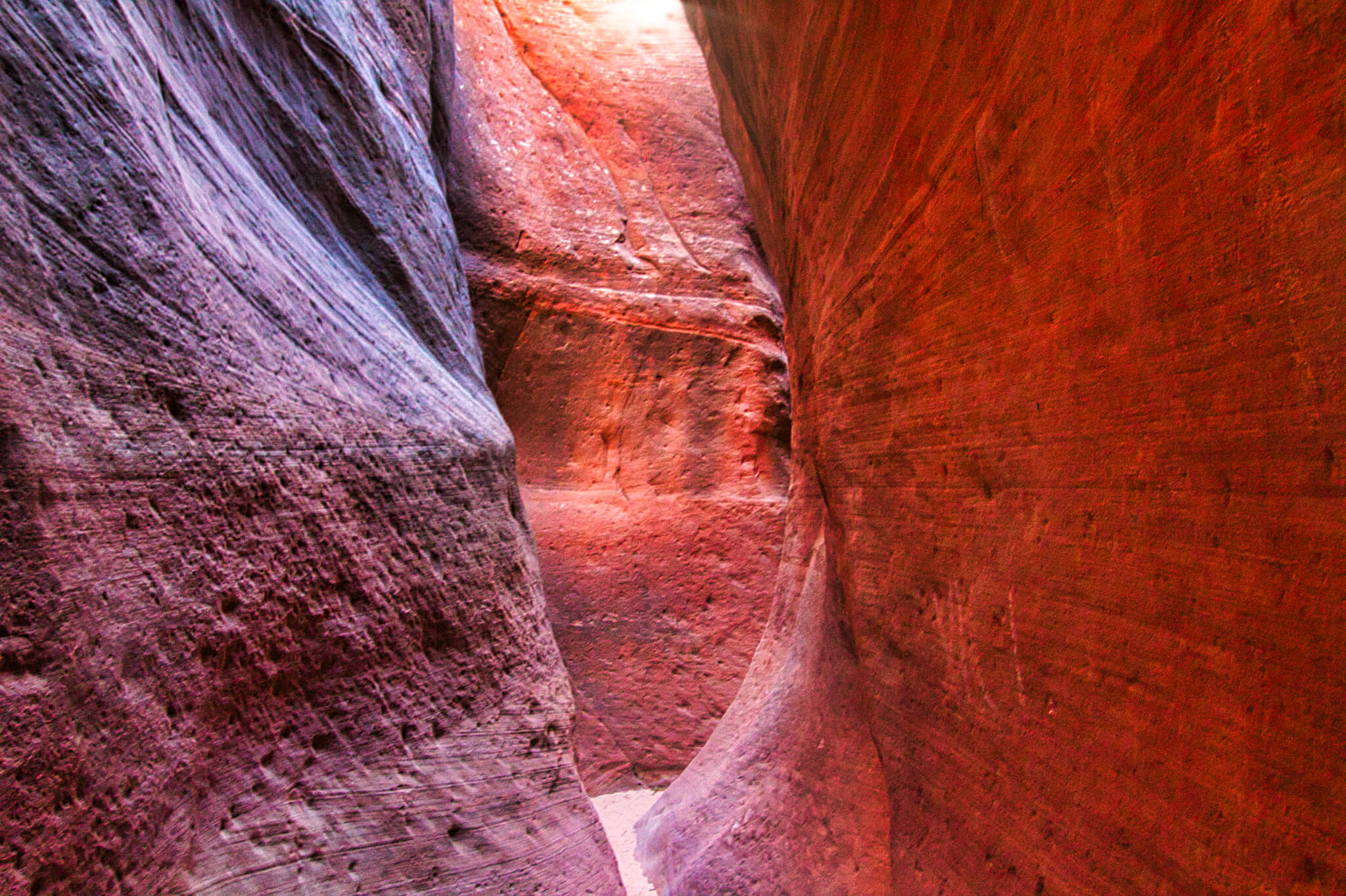
Within the Grey Cliffs is the Red Hollow slot canyon. This is a favorite spot of Murphys. We hike this 1/2 mile trail several times. Even making a little video of it.
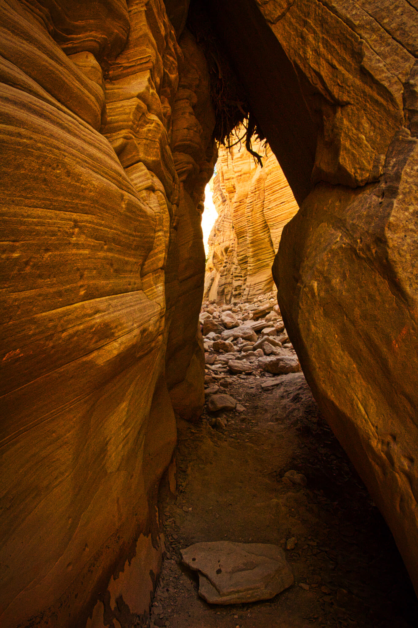
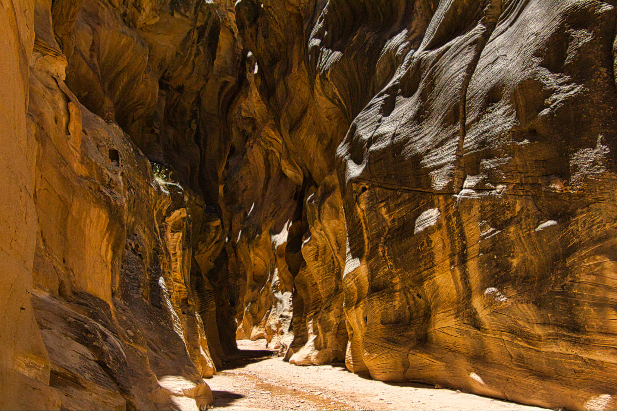
A great adventure was found on Skutumpah Road. This is a washboard gravel road that leads to some amazing hiking trails and even grander canyons in Lick Wash and Willis Creek.
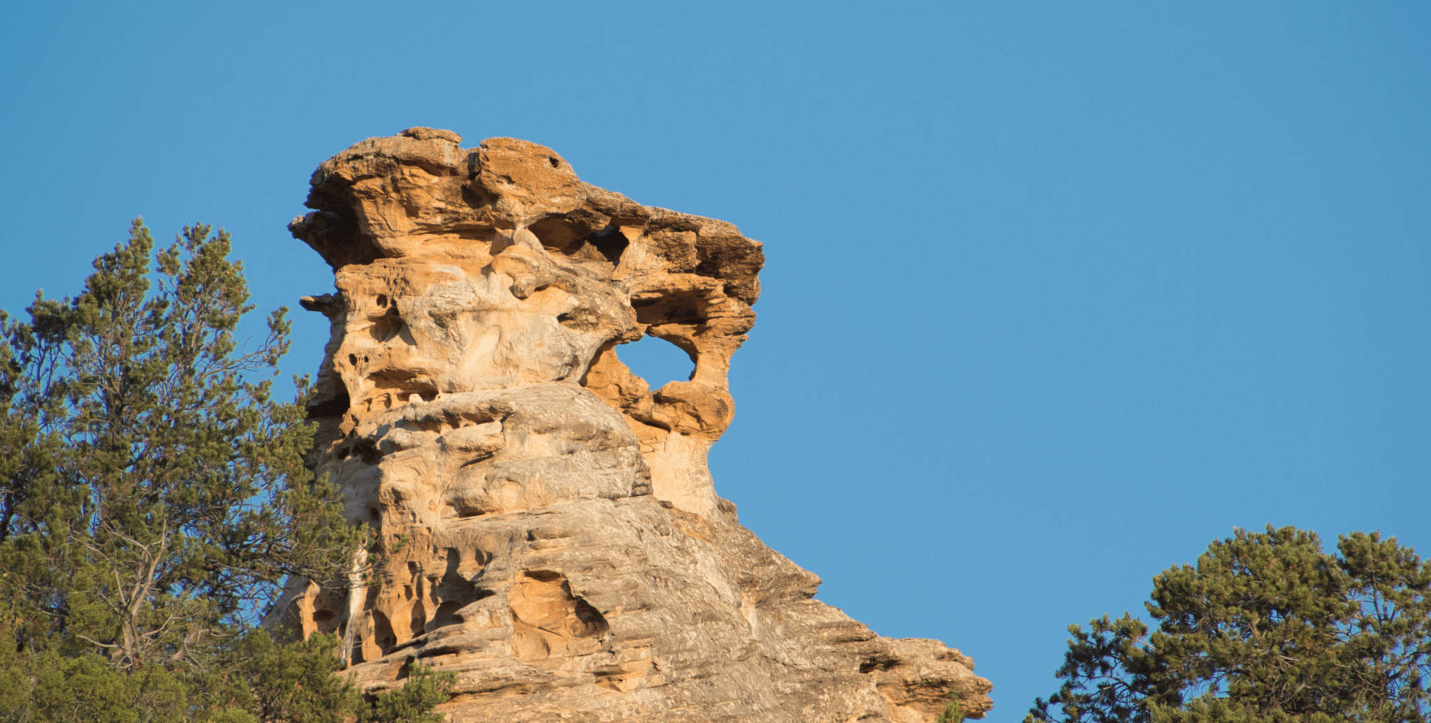
A more drivable tour is Johnson Canyon Road. Where we found, rock structures, arches, and even old Gunsmoke Set, and great views of the White Mountains.
KAIPAROWITS PLATEAU
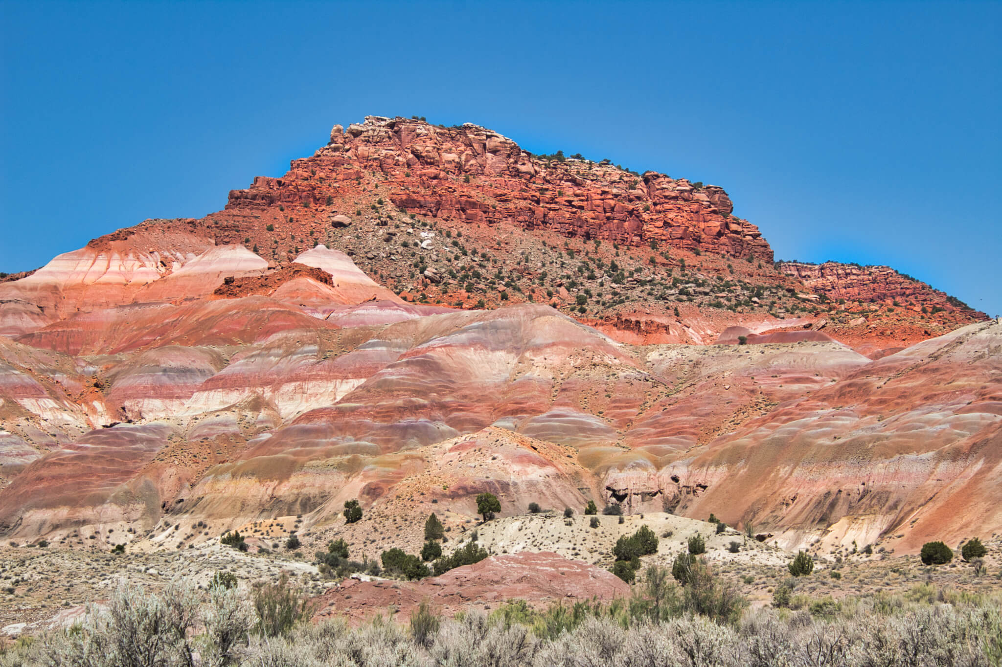
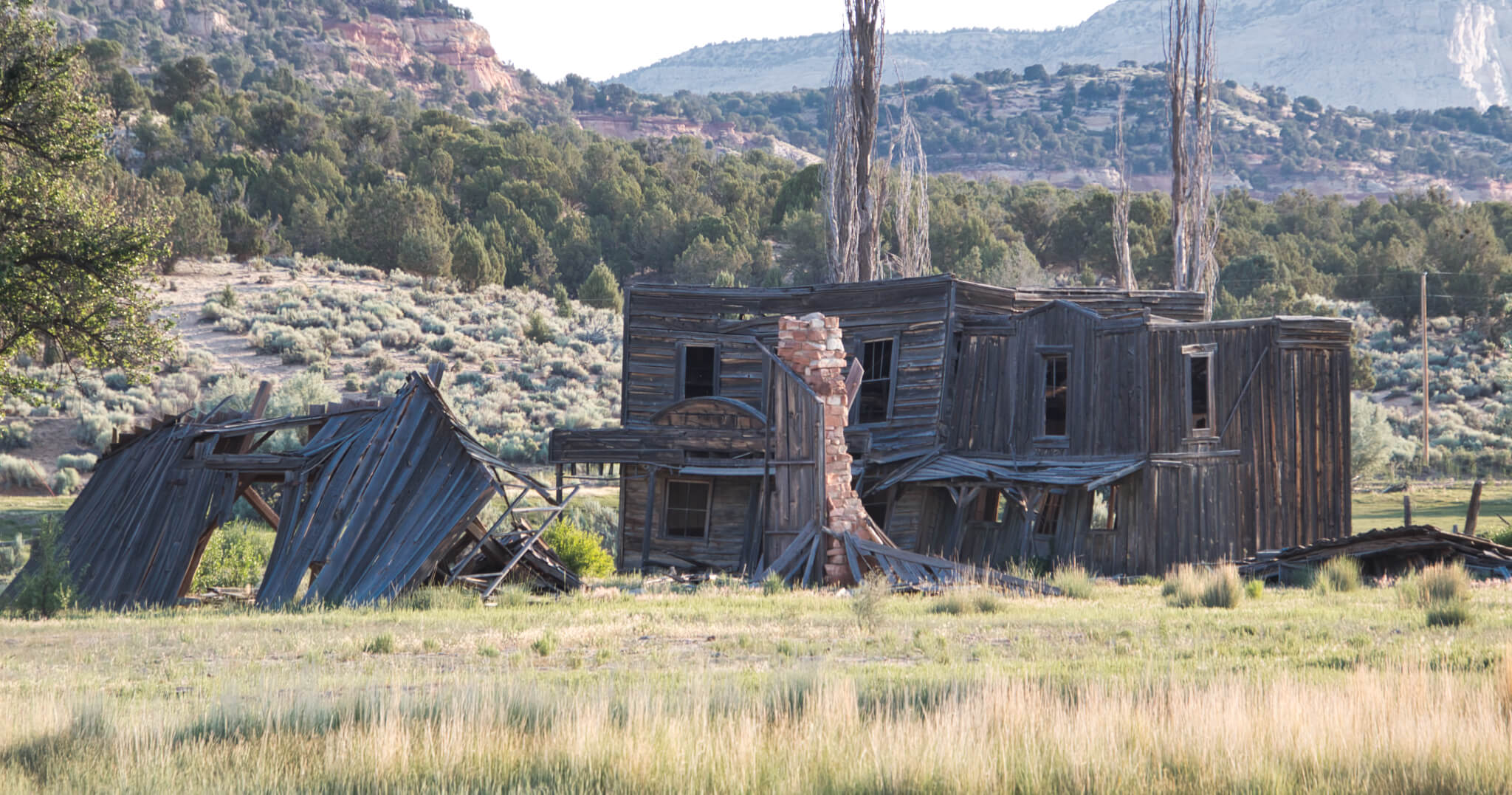
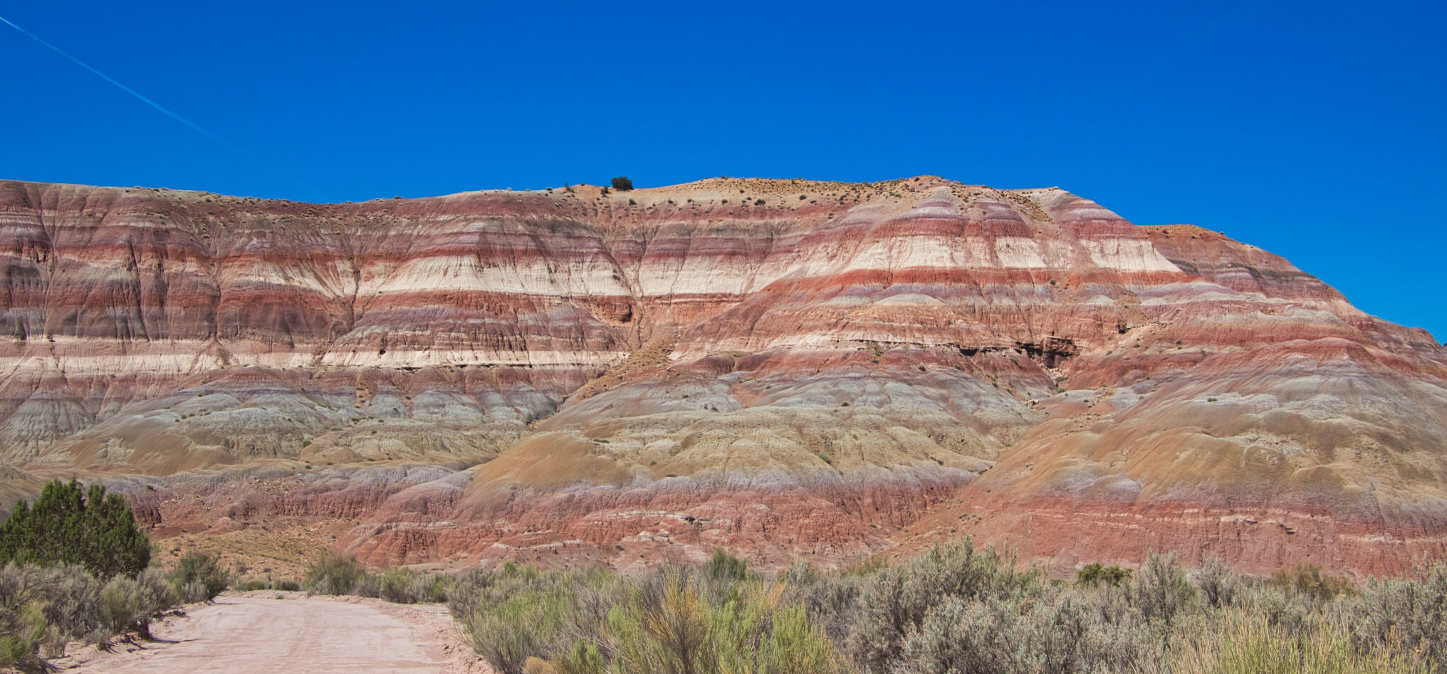
Nine thousand feet up, this is the highest, wildest, most arid, most remote part of the monument. I begin by heading up to Pahreah Town Site. This is billed as an old Western ghost town used in many movie sets. Having just seen a bit of the old Gunsmoke, I am excited to see a whole town. Unfortunately, not until I get there do I see sign reporting the old town was burned down by vandals some years ago. Efforts to rebuild the place have not materialized. It is a striking place, however, with the cliffs perfectly striped in red, lavender, blue, green and white.
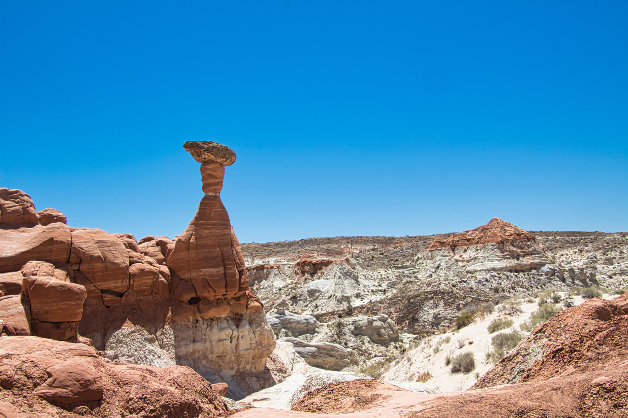
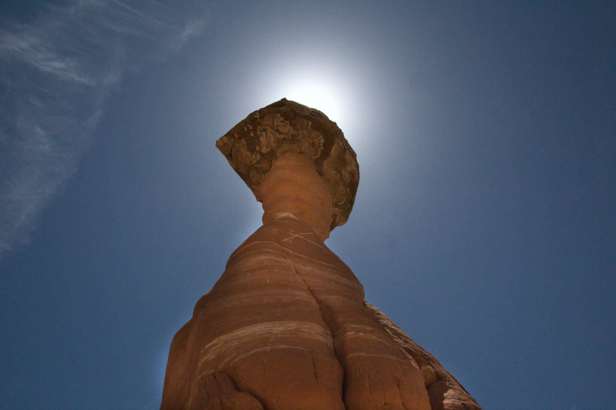
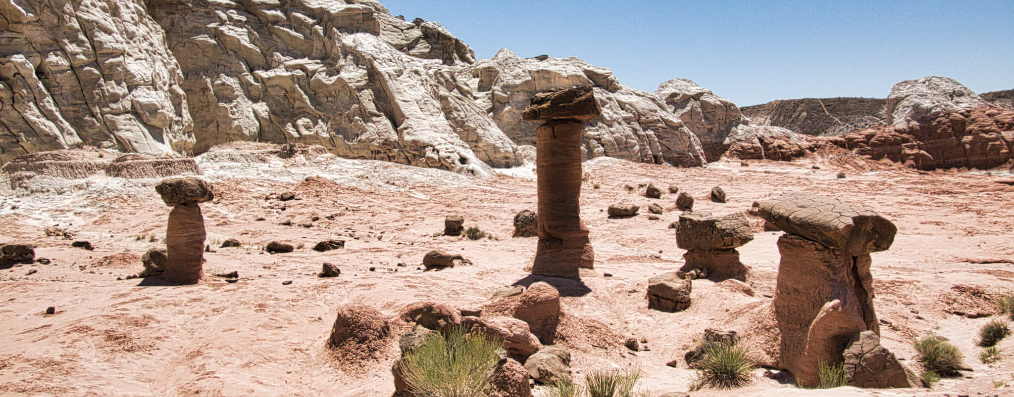
A bit up the road from Paria is a 1.6-mile trail leading to The Toadstools. The toadstool is a formation that has a boulder perched on top of a smaller rock. The softer rock under the capping boulder erodes away at a faster rate. The cap rock acts as an umbrella protecting the softer rock underneath it.
CANYONS OF THE ESCALANTE
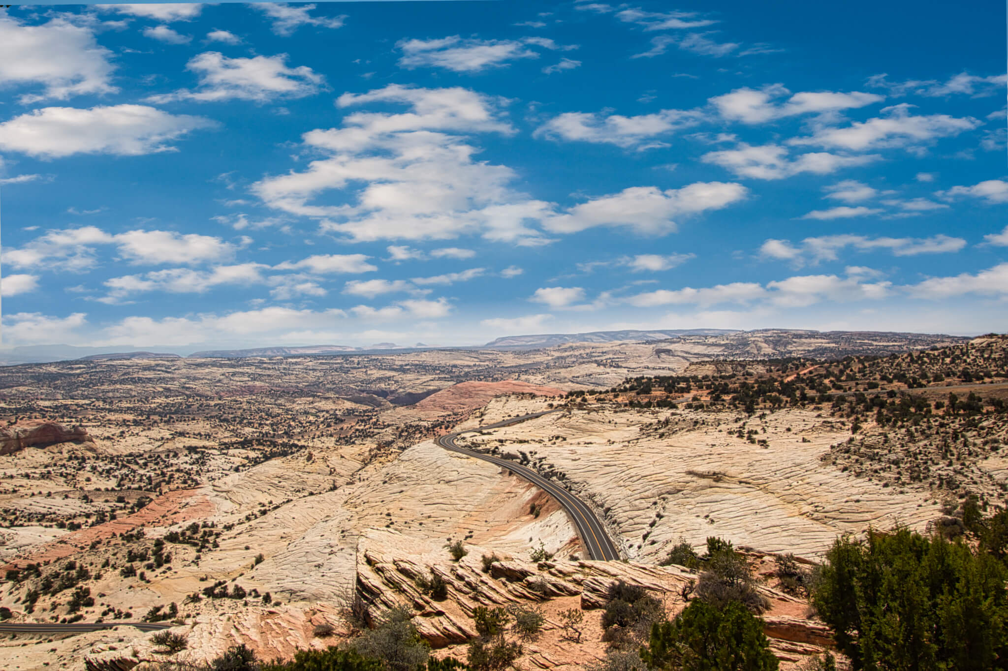
I stop in the Escalante Interagency Visitor Center looking for trail maps and guidance. I assume my destination will be Hole-in-the-Rock Road. Giving the long drive, long strenuous trails, and that I have Murphy with me, my plans change. The attendant suggests hiking the Escalante River trail to the natural bridge. Having recently viewed Antelope Canyon and Arches National Park on the horizon I opt for the 5-mile natural bridge river hike and forgo the more famous Coyote Gulch.
We leave the center and the drive to the trailhead offers some magnificent views of the river valley below.
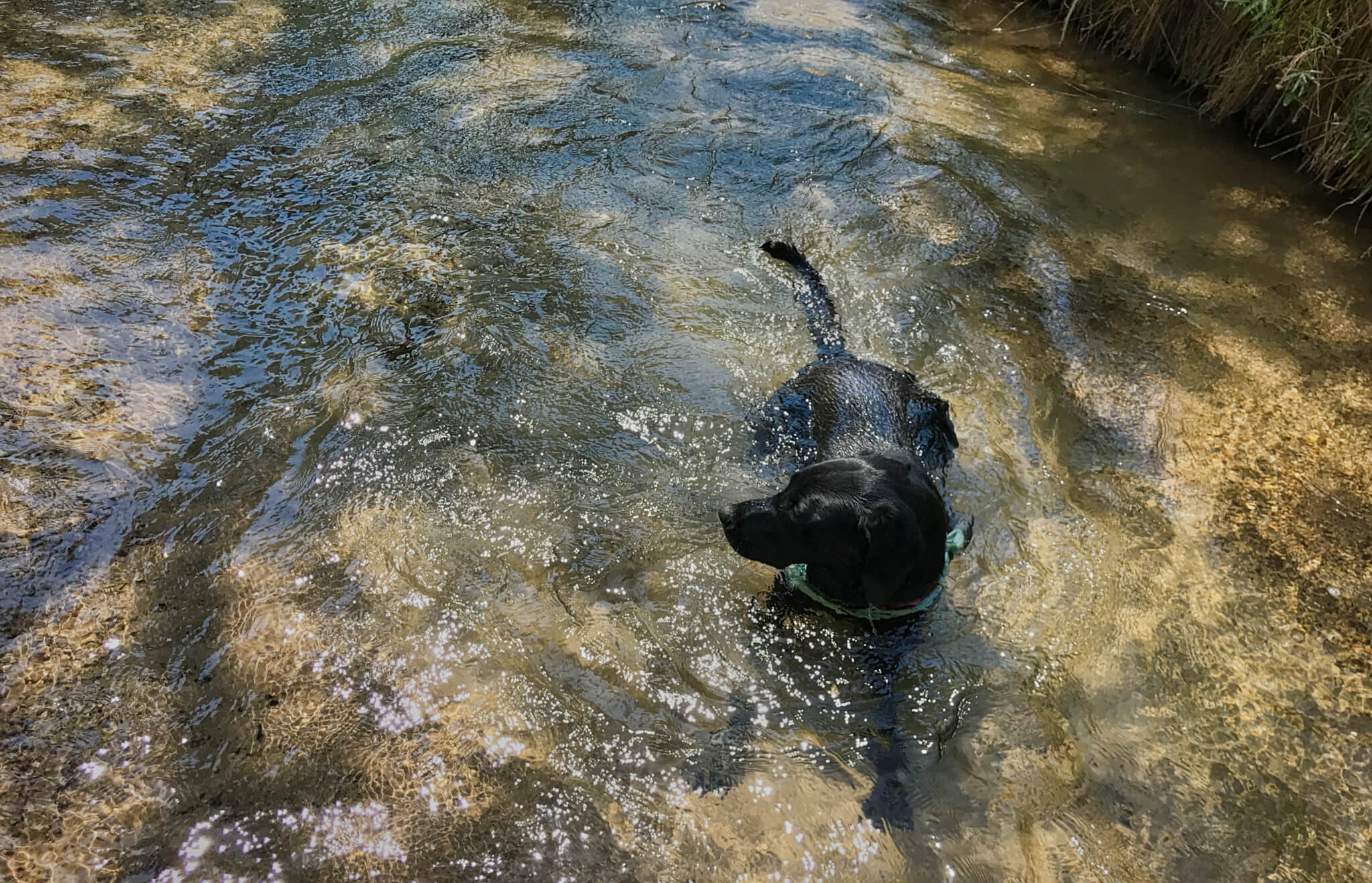
The attendant made an excellent suggestion. The 5-mile hike follows along and across the river through desert sands, around sheer rock cliffs, and often shady trail. Except for a family enjoying the river at the trailhead, I never see anyone else on the trail.
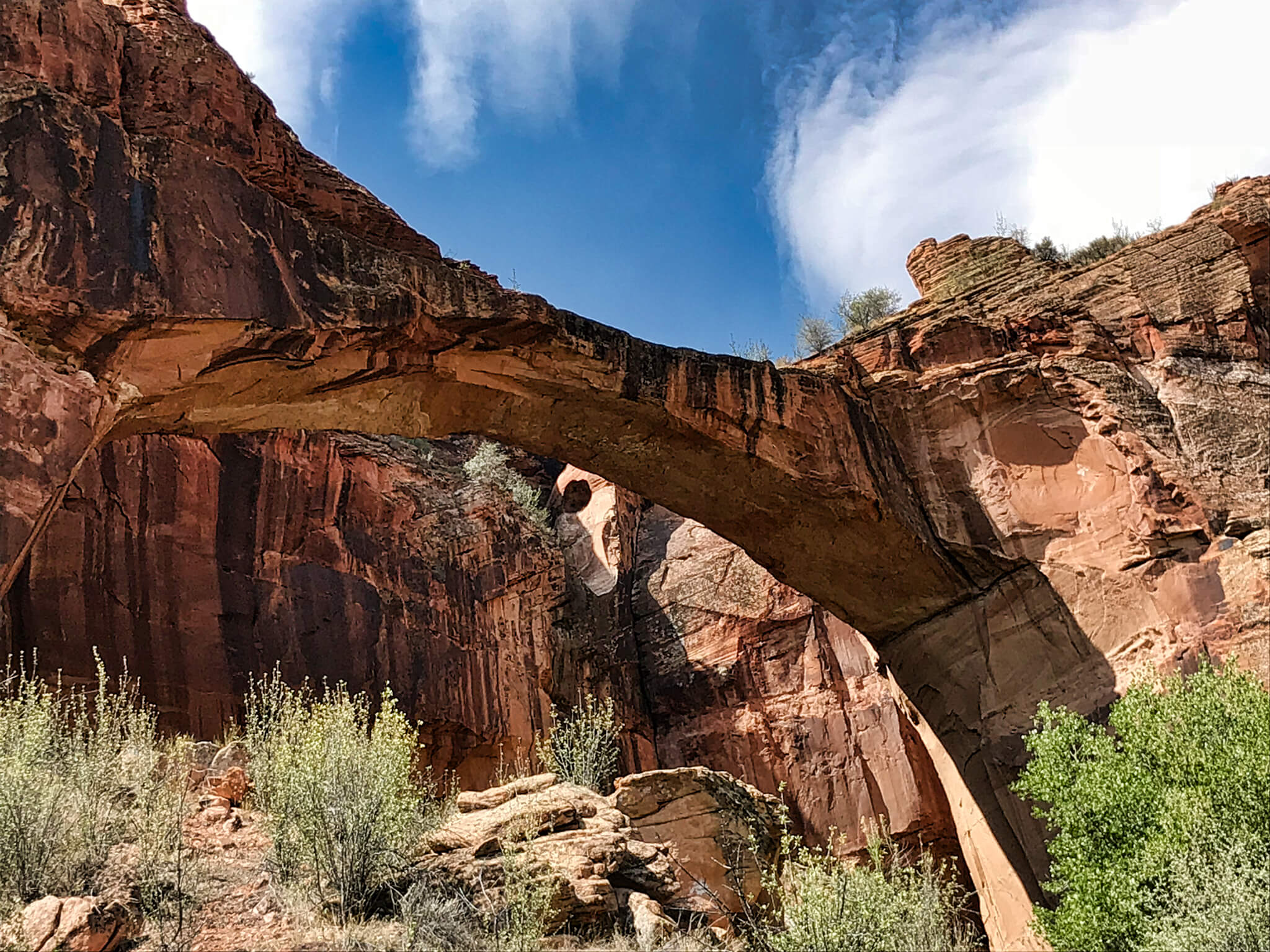
After about 2.5 miles we reach the natural bridge.
Southern Utah has so much to offer. The Grand Staircase-Escalante Monument is much less traveled than its nearby cousins Zion and Bryce National Parks, but it’s no less beautiful.
When not on the road, he helps others fulfill their yearning to travel as a Membership Specialist for Thousand Trails.
Love this area. We haven’t been there as in depth as you yet but plan an excursion there soon. We have road biked Johnson Canyon and found the Gunsmoke set fascinating. It’s great to live here in Utah and get to navigate easily through this immense landscape. Thanks for sharing 😍
I have my road bike with me but always a little afraid to ride alone. But that would be a great place to ride. Not much traffic when I was there.